The Milford Track begins with a bus ride. Well, ours does anyway. I’ve written before about my feelings towards carrying a heavy pack and sharing sleeping space with strangers, so it should come as no surprise that we chose to walk its 54km guided and supported. This means we carry only our clothing and toiletries and arrive each evening at a lodge that has proper beds, a decent cup of tea, and a three-course meal cooked by someone else. Oh, and a bar. My friend calls them Chardonnay Huts; I have no problem with that.
We arrive at the Ultimate Hikes headquarters in Queenstown by 9am. There’s a quick briefing about what to expect, some information about changes due to the Covid level change, then: ‘Masks on; we’re going in!’ says one of the guides, and we dutifully mask up and board the bus. As it pulls away I think we must look like a group of sanatorium patients going on an outing. Other than a couple of short bus trips in Wellington I’ve not worn a mask much and find I forget about it fairly soon, to the extent that I practise a bit of self-waterboarding when trying to take a drink without removing it.
Unless you suffer from travel sickness, there’s no downside to being on a coach in the South Island of New Zealand. Everywhere you look there’s a view. Today clouds climb over the hilltops, flattening the sharp peaks of the Remarkables* and hovering over the lower land like dry ice drifting over the audience at a rock concert. The road traverses one side of Lake Wakatipu, grabbing any passage it can. Across the water the land plunges almost vertically into the water. South of the lake the valley opens up, flat fields filled with livestock and crops. I swear one has a cleared patch in which are two sets of cricket stumps, but it flashes by before Neil has a chance to corroborate this.
We turn west towards our first view of the mountains of Fiordland peeking from behind distant hills, and a squall of rain hits the windscreen. I have a good rain jacket and waterproof trousers in my pack but, despite that I’m entering the wettest part of New Zealand (it rains roughly 200 days a year here), I’m hoping not to need them and am glad when the sun greets our arrival into Te Anau. Our lunch stop is (socially distanced) shared with those who have just completed the walk – a lot of weary faces, a couple of twisted ankles and, the whisper goes around, a cracked rib! What am I letting myself in for?
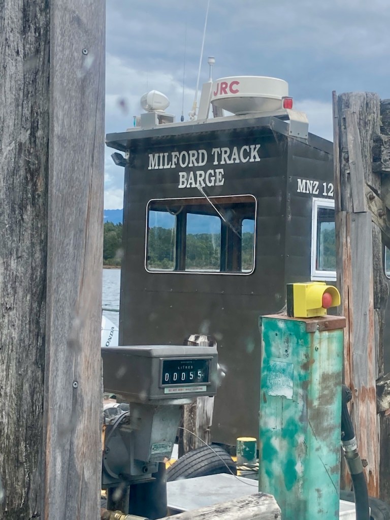

Whether you walk the luxury version or not, the only way to get to the start of the track is via boat: it begins at the northern end of Lake Te Anau and there is no road access. The crew, who perform a lively commentary through the hour-long trip, are maskless and gradually passengers discard their own. It’s easy to spot those who are doing this the hard way – their packs are twice the size of ours, and their bodies generally a lot leaner and fitter looking. But we are all warily watching the small black dots that hover around us: sandflies. The sandfly (te namu – little devil) is a tiny but vicious little bugger that loves nothing more than a good taste of human. Māori legend has it that the goddess Hinenui-te-po sent them into Fiordland to prevent humans settling in such a beautiful place and ruining it. Her plan worked – it’s one of the least settled areas of the country.

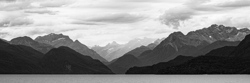
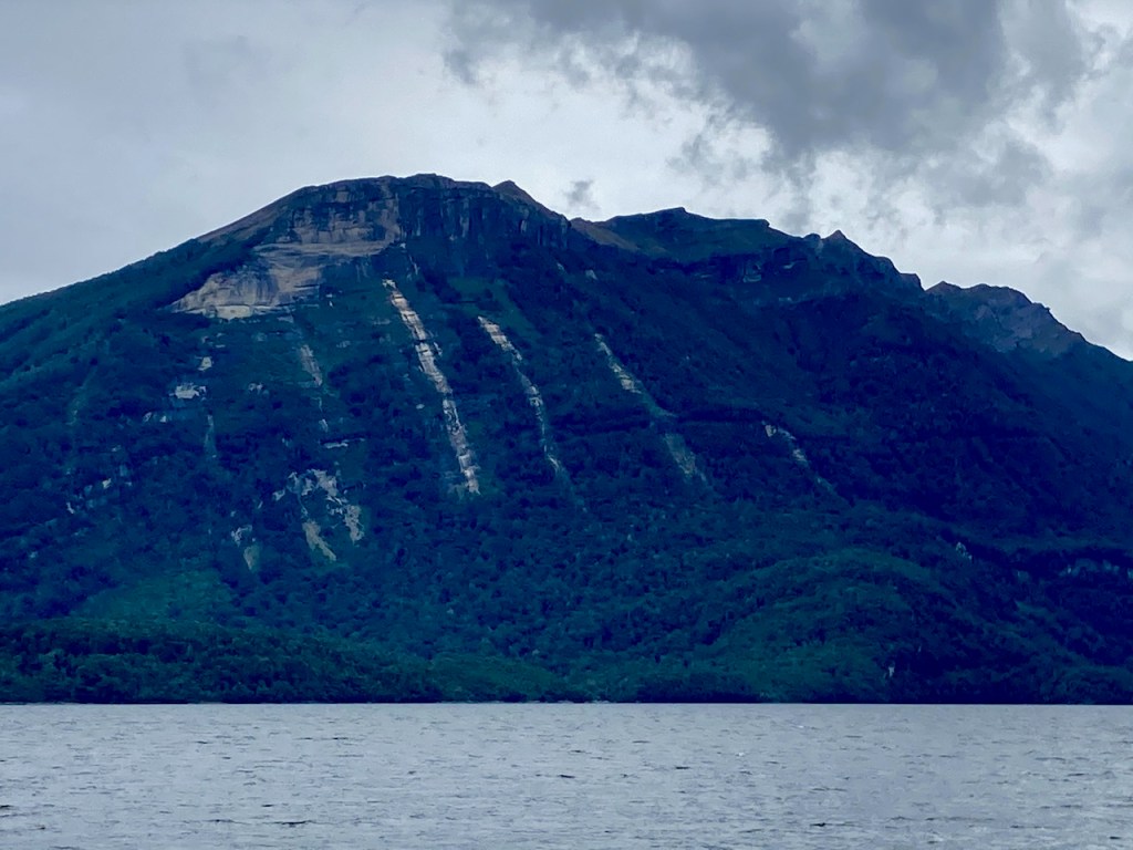
Lake Te Anau is New Zealand’s largest by volume, long and thin with unimaginatively named (north, middle, south) arms sticking out on its western side. (No one needs to guess how Sandfly Point got its name.) The water shimmers silver and the steep sides are scarred with horizontal stripes as evidence of their creation through glaciation. Three vertical scars look like a large animal has clawed at the cliff – maybe this lake has a taniwha (water creature in Maori legend). Close peaks are rounded, green and covered with vegetation, their backdrop the sharp grey granite jags of mountains that poke above the treeline, snow lingering in sheltered crevices. On a small island stands a cross in memory of Quintin McKinnon, one of the men who scouted the route for the Milford Track and then spent three years guiding early travellers along it. He disappeared on the lake in 1892, his upturned boat found but no body, and it is presumed he drowned here.

We cross the 45th parallel, halfway between the equator and the south pole, and discover the reason for so much rain in the area: this is where winds from each meet, fighting it out above the ocean to the west before prevailing air-currents carry them to the shore where they rise over the mountains to create clouds that dump water, lots of it, onto the land.

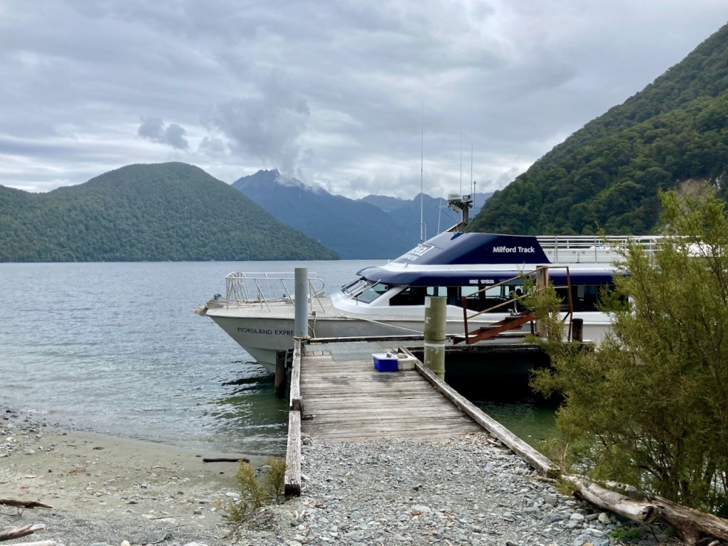
We disembark at the small pier at the end of the lake, stomping our feet and wiggling our poles through trays of disinfectant to prevent carrying anything noxious into this pristine area. The track is level and easy and we amble through forest whose stillness and silence makes me whisper. It feels ancient, gnarled trunks draped with dangling greenery like cobwebs hanging from rafters in an empty house. After only a km or so we emerge into a large clearing beside the Clinton River, on the edge of which sits Glade House (more imaginative naming) a converted and enlarged old homestead. We dump packs for a quick walk through the surrounding forest up to a viewpoint of the lake. On our return the cloud has cleared to reveal a stunning view across the glade to Mt Sentinel. I cross my fingers and hope it stays away.


*There are two theories of how the Remarkables became so named – either because they are one of only two mountain ranges in the world to run directly north-south, or because of how they appeared at sunset to early settlers.

Loved reading this blog Brought back memories of our time there
Sent from my iPhone
>
LikeLike
Thank you!
LikeLike